in the news (5)

 
INNOVATIVE DIRECTIONAL SIGNS
5 photo(s)

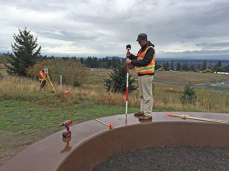
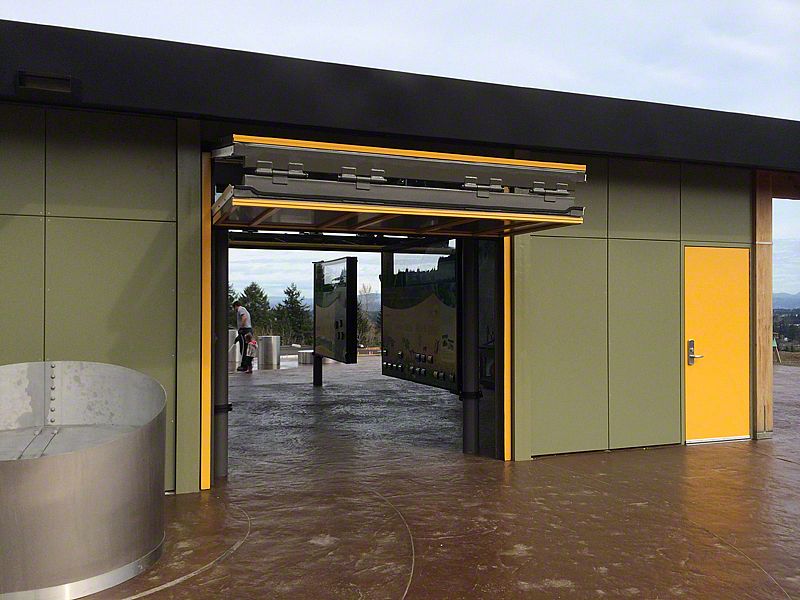
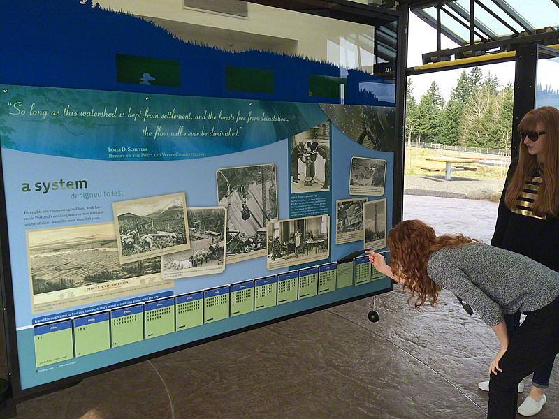
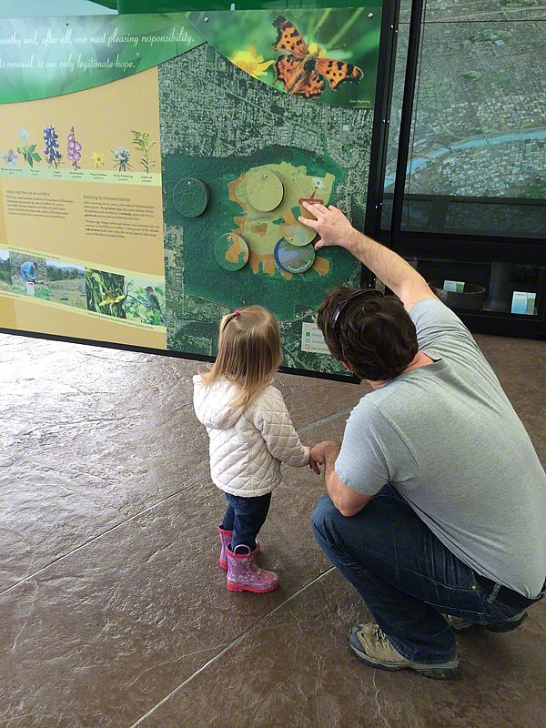
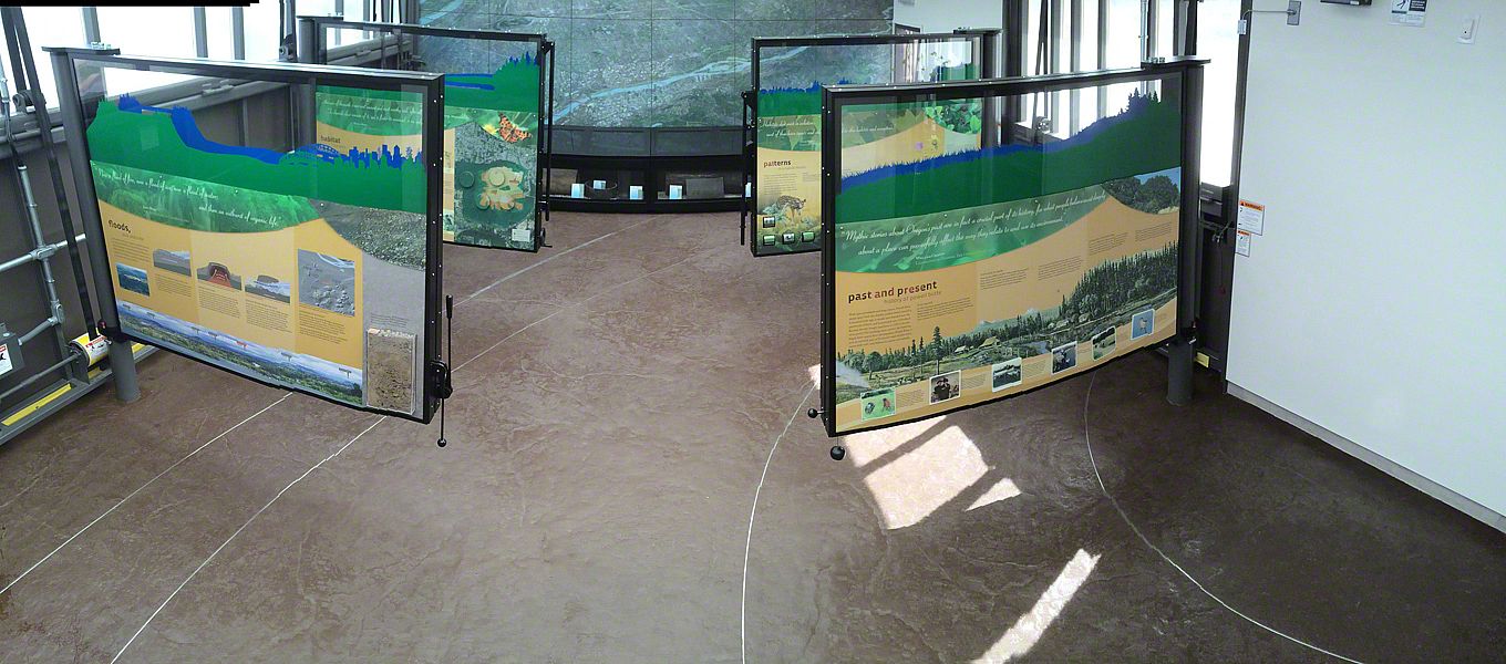
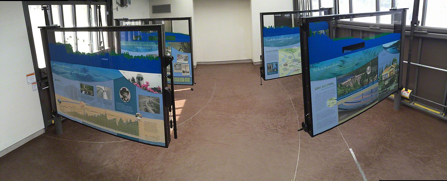
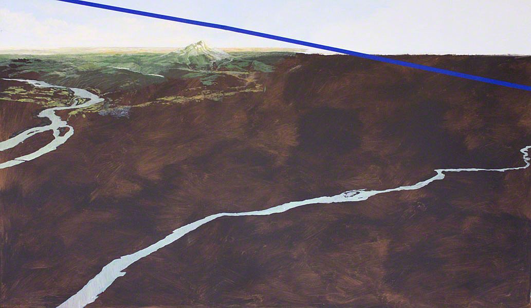
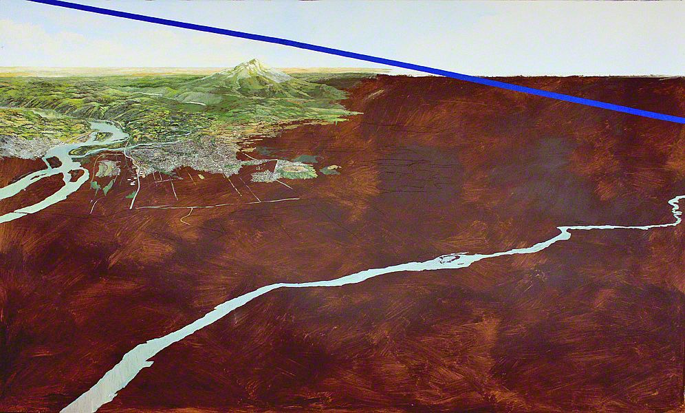
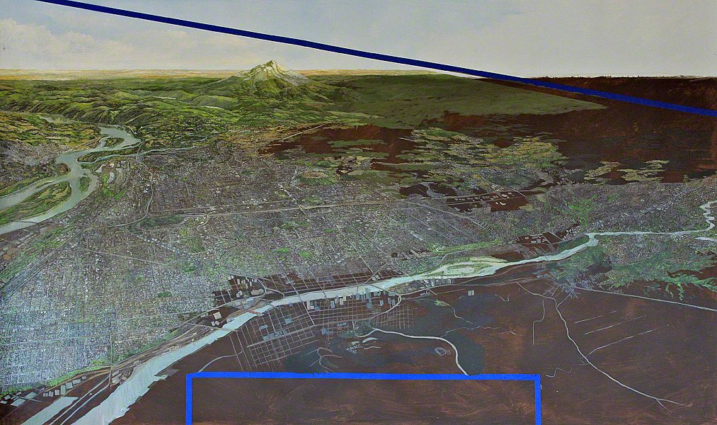
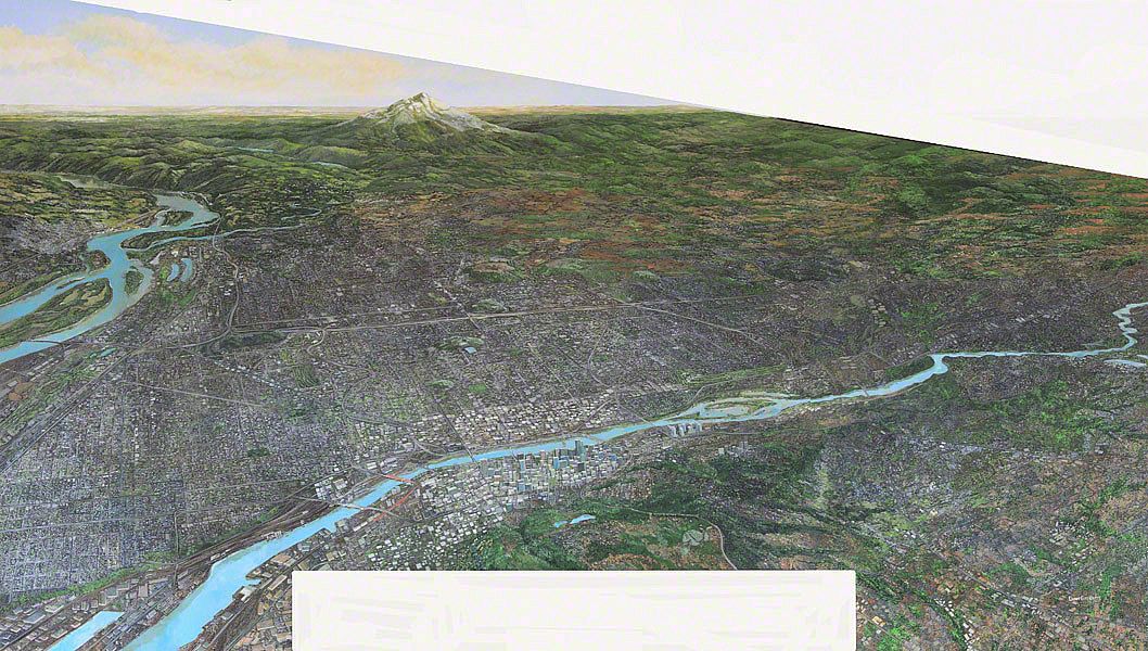
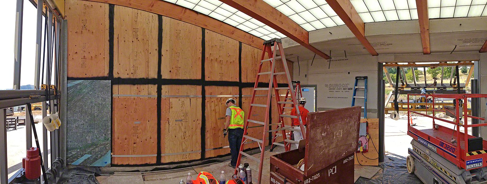
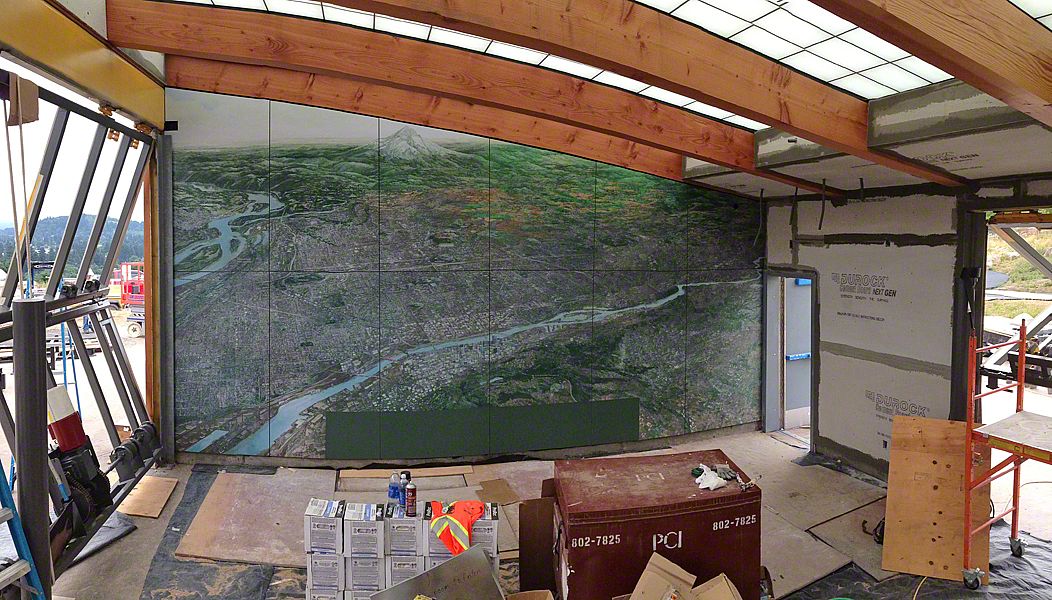
february 2015 | by peter reedijk | show project

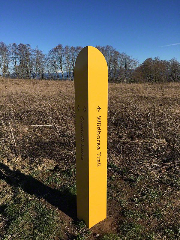
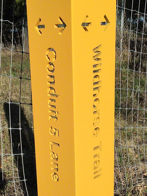
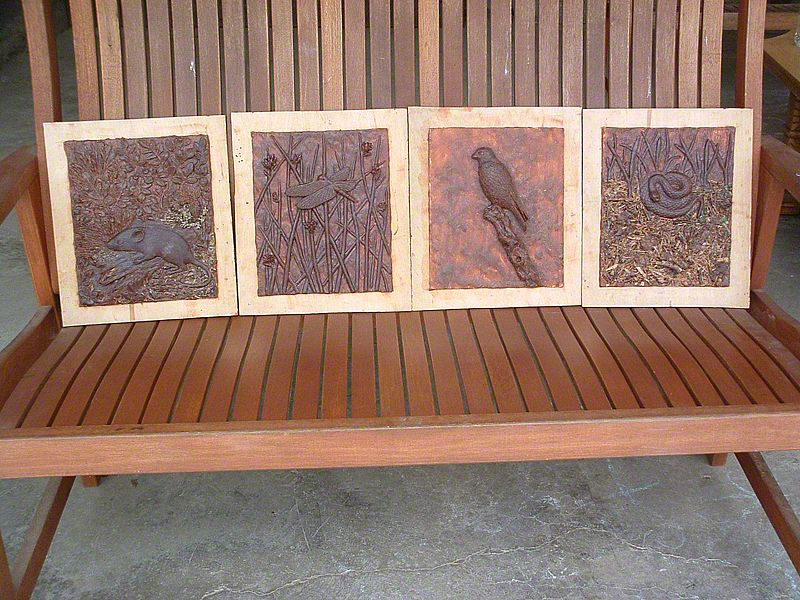
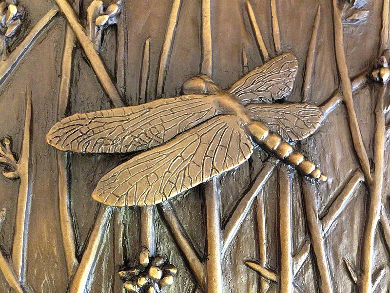
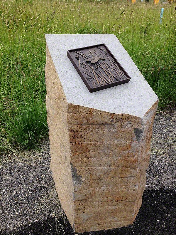
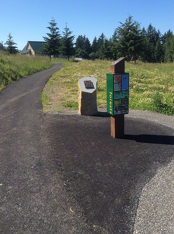
The design parameters were simple: design a sign system that will withstand vandalism, last for at least 20 years, is cost effective, and can be used by pedestrians, bikers, and horse riders.

OK. We like a challenge.

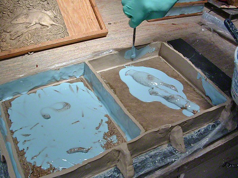
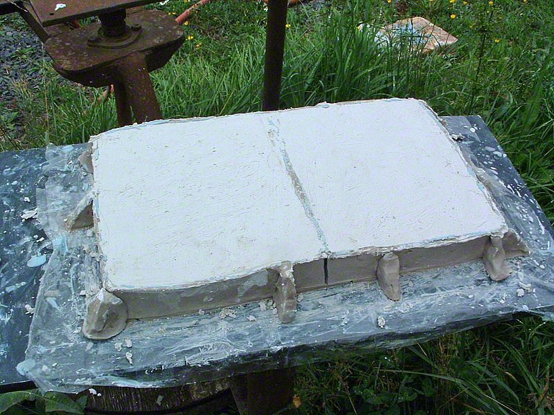
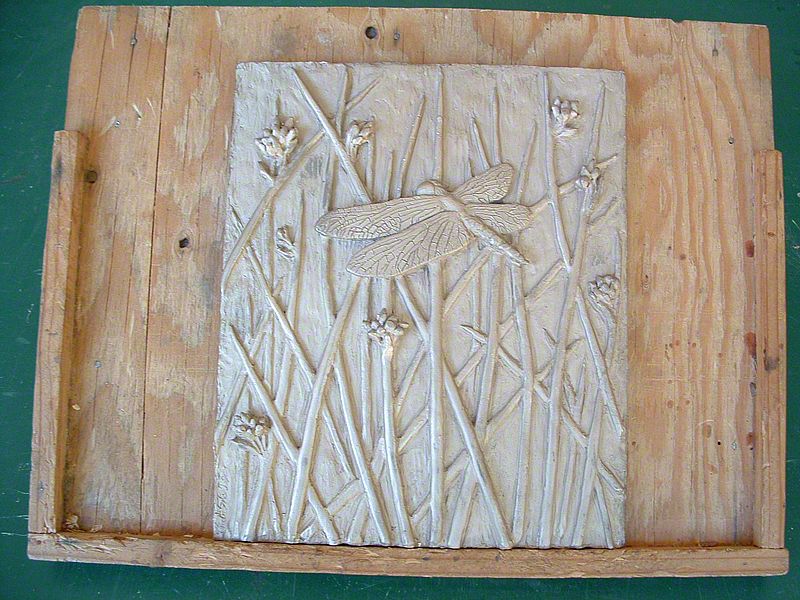
The first consideration: vandalism. Designing around this matter ripples through the rest of the design parameters. You either design something that is relatively simple and typically cheap to produce and replace it as needed, or use a material that can withstand abuse and can last for a long time, although the durability usually adds expense. According to our clients, the main problem in the park is graffiti tagging and, in extreme circumstances, attempts to destroy anything in sight. We decided to create a sign system with a relatively small available surface area to discourage the tagging of signs. By combining the upright with the sign panel (message), we eliminated hardware and possible weak points in the assembly. The materials used have an extremely long life and can be cleaned in a straightforward manner. Even when thoroughly abused, they can be resurfaced and reinstalled.

The second problem: the signs need to target multiple user groups. Pedestrians—no problem. The speeds that they travel at means that sign messages can be easily seen. Cyclists and trail riders, on the other hand, need to have good target value and should be able to read the signs from further away. The eventual solution presented itself by solving the vandalism problem. The sign legends are cut out of the signpost using a specially modified font that looks better than the usual stencil font. The font is large enough to increase the visibility to 30 feet. The yellow sign stands out enough so bikers have time enough to notice it while traveling at high speeds, and horse riders can read the signs while sitting in the saddle.

A MATTER OF PERSPECTIVE
4 photo(s)

october 2014 | by peter reedijk | show project

At the highest point at Powell Butte Nature Park in Portland, OR, I encountered an old tattered mountain finder once carefully erected by industrious Boy Scouts. Sanctioned or not by city officials, it had become a fixture on the landscape enjoyed by hikers, bikers, horsemen and joggers alike. So when it came to creating a new interpretive experience on the butte, it came as no surprise that the old finder was slated to be renovated and incorporated.

As I took in the view and followed the arrows to their respective targets I would have no idea what was involved in renovating a simple Boy Scout project. A compass? A map? A theodolite?

First, there would be a long discussion as to what should be included. What is worthy to be pointed out, and what relates to Portland's water distribution story. What can or can't be seen, What is visible, but too far..., what is difficult to distinguish from the surround area, but is easy to see. As the list solidified, the elevation and distance were compiled. But wait, what is your source. Is it USGS, or Google, or Wikipedia? What about consistency? As science took hold and more people had their opinions vetted, a solution emerged.

As the design also came together, the locations were solidified into steel and concrete. Let's mark the spot. But wait. Are we talking about north, or true north? What is the deviation? What is our point of origin? We are close, so close. Yet something still seems elusive.

POWELL BUTTE
17 photo(s)

march 2014 | by susan jurasz | show project

The day is stunning as our team of six begins work installing an indoor-outdoor visitor center on Powell Butte near Portland. From our worksite, we can see a 280-degree elevated view of east Portland. Mt Hood stands snow-capped in the distance. After months of finessing a series of Rube-Goldberg-style interactives and hand crafting layers of exhibitry, we finally reach the moment of truth: will all the pieces go together and function as planned?

The exhibits focus on two distinct themes: the natural history of Powell Butte, and the form and function of the Portland water system. The topics intertwine - a natural history exhibit describes the geologic formation of the butte, and the related water system exhibit shows how this and other nearby buttes are beautifully suited to storing and delivering Portland's water using the power of gravity.

The exhibits are designed to meet the client's need for flexibility, and access. Each of the huge, double-sided panels can pivot out of the way on six and a half feet steel posts, allowing groups to gather under cover. The cantilevered, gate-like structures allow an instructor to focus on only the natural history story, or only the water story, by configuring the room in such a way that only one story is visible from the inside.

Surrounding the visitor center building are stainless steel cylinders jutting out of the stained and textured pavement - some just a few inches and others as high as several feet. The cylinders, which are topped with bright blue terrazzo, beg to be climbed, sat on or even laid down on. Each cylinder represents a different size of pipe in the Portland water system. The largest pipe, at 90 inches, forms an arch you can walk through, while the smallest, at just a half inch, is a mere peephole.

A BUILDING WITHOUT A VIEW...
9 photo(s)

august 2013 | by peter reedijk | show project

As part of the redesign of the Powell Butte Visitor Center a small window was designated in the eastern wall of the building for a special purpose. The idea was that the carefully placed frame would capture the iconic image of Mt. Hood, visible most of the time from the elevated butte. There was only one problem: Mt. Hood is NOT the water source for the 50 million gallon reservoir on the butte! A common misperception that the Water Bureau was trying to erase.

The solution: get rid of the window and find a way to show the real source of the gravitation fed water system - Bull Run. The new design concept was to create a sprawling mural with the help of local artist, Larry Eifert, that would display the entire water system. Last week, we installed the result of this effort. Now, inside the new Visitor Center, which is close to being finished, a stunning mural fills the eastern wall - floor to ceiling, wall to wall.

NATURE TRANSLATED
15 photo(s)

august 2013 | by peter reedijk | show project

Working with artist Mark Andrew, Sea Reach is incorporating a series of bronze reliefs featuring signature species of the four habitats at Powell Butte Nature Park.

The process began by communicating with Mark via photographs what we wanted the bronzes to depict. Through skilled handwork and the eye of the artist, Mark created four sculptures that are featured on top of habitat bollards placed along the loop trail. The bollards provide a glimpse into the different habitats that can be experienced on walks on the butte.

Follow the photo series and see how the sculptures come alive.

showing